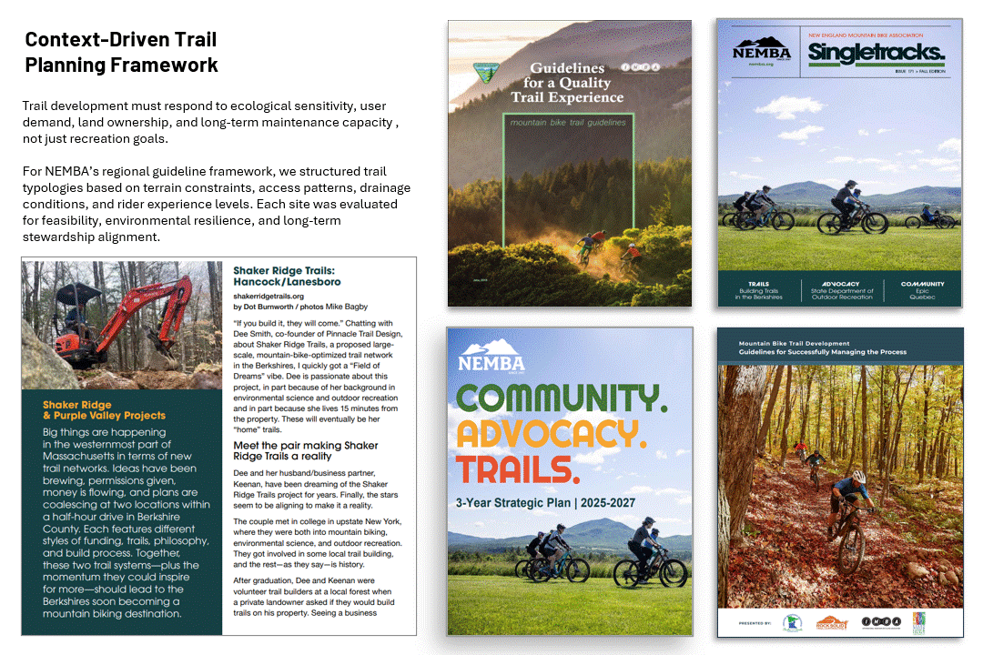
Trail Design Guideline (NEMBA): Planning & Standards
150-page planning and design framework integrating land-use strategy, environmental stewardship, and regional advocacy for sustainable trail networks.
2025
( Planning Documentation, GIS Mapping, Design Standards )
Professional Consulting - Technical Report Writing


Summary
Developed a comprehensive infrastructure planning and design guideline integrating spatial analysis, network planning, and infrastructure standards to support long-term transportation corridor development. Conducted GIS-based assessment of network structure, terrain constraints, and connectivity to inform infrastructure planning, expansion strategy, and sustainable corridor design.
Approach
Transportation and mobility corridor planning often lacks standardized, data-driven frameworks integrating spatial constraints, network connectivity, and long-term infrastructure performance. This limits the ability of agencies to plan resilient, efficient, and scalable infrastructure systems.
Conducted spatial network analysis using GIS to evaluate infrastructure corridors, terrain constraints, accessibility, and connectivity. Assessed slope, elevation, and network structure to identify feasibility constraints and infrastructure optimization opportunities. Developed a 150-page technical infrastructure planning and design guideline establishing standardized methodologies for network planning, corridor design, and long-term infrastructure development.

Results
Produced a comprehensive infrastructure planning and design framework integrating spatial analysis, network assessment, and engineering-informed infrastructure standards. Generated spatial datasets and network evaluations identifying connectivity gaps, feasibility constraints, and infrastructure optimization opportunities.


Impacts
This work provides a scalable framework for infrastructure planning, enabling agencies and organizations to make data-driven decisions regarding corridor development, infrastructure expansion, and network optimization. The methodology supports transportation system planning, infrastructure resilience, and sustainable mobility network development through spatially informed planning and standardized infrastructure design principles.
Want to discuss more about
this project ?